About Volunteer Beach Profile Monitoring
Why profile beaches?
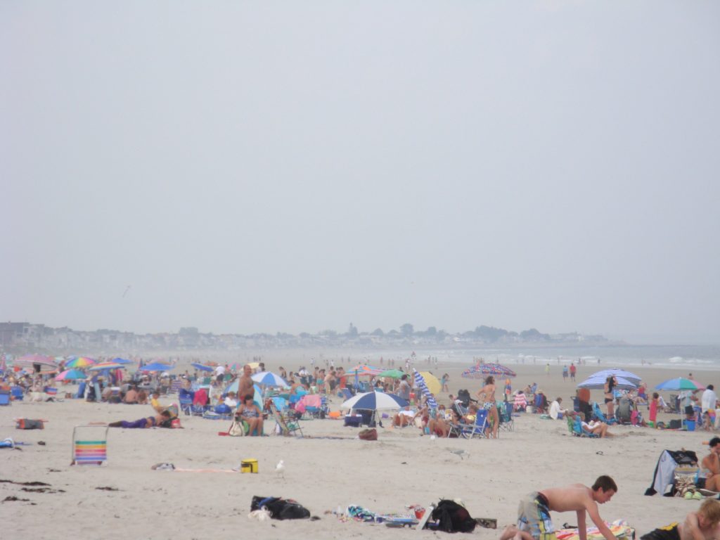
Although sandy beaches represent only about one percent of Maine’s 3500-mile coastline, they are vitally important to the state’s economy as recreational resources, provide crucial wildlife habitat, and buffer the coast against storms. However, many of Maine’s beaches are threatened, mainly by erosion from coastal engineering and natural forces. Engineering structures, such as jetties and seawalls, built to create navigable harbors and protect beach front property, may impact the recreational beach. They can interfere with the natural distribution of sand and cause beaches to erode more rapidly or sand to accumulate in unwanted places. Many towns try, sometimes without success, to fix their beaches by dredging sand from one place and dumping it in another.
Sand beaches then, comprise only about 35 miles of Maine’s coastline, mostly south of Portland. Rare, undeveloped beach and dune systems show signs of erosion and landward migration driven by sea-level rise. With the exception of a few locations where sand is accumulating because of the influence of jetties, all of Maine’s beaches are eroding.
Maine is one of only five states in the country where the intertidal zone can be privately owned, and as a result beach management decisions are made by individual property owners, as well as towns, and state and federal agencies. Because these parties may not always agree on the right course of action, decision making is sometimes highly contentious.
How does the beach profile monitoring program help?
Through collection and sharing of reliable data and encouraging collaboration among property owners, regulators, and scientists, the beach profiling program works to improve the decision-making process. The monitoring program was originally established in 1999 as a University of Maine research project funded for two-years by Maine Sea Grant. When the grant period ended, Maine Sea Grant Extension became the program manager, and maintains it to date. As a testament to the value of program, the majority of the participating cities and towns have committed to continuing long-term monitoring by including program funding in their annual budgets.
How do Maine coastal communities benefit?
The Maine Geological Survey uses the volunteer-collected data, along with other coastal processes data, to identify seasonal and long-term trends that inform beach management planning. Results are summarized in biennial State of Maine’s Beaches Reports, which are released at the Beaches Conference. Beach profile data is used in numerous way to guide decision-making in Maine coastal communities, such as monitoring beach nourishment, and dune restoration projects. Maine’s beaches generate significant economic benefits every year, and it is therefore vital to understand what changes are occurring and how those changes will affect beach use.
Program Partners
|
|
|
|
|
|
|
|
|